


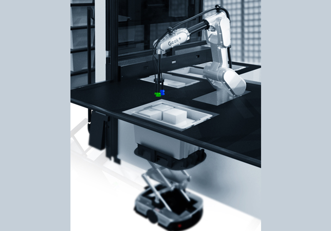
.jpg)


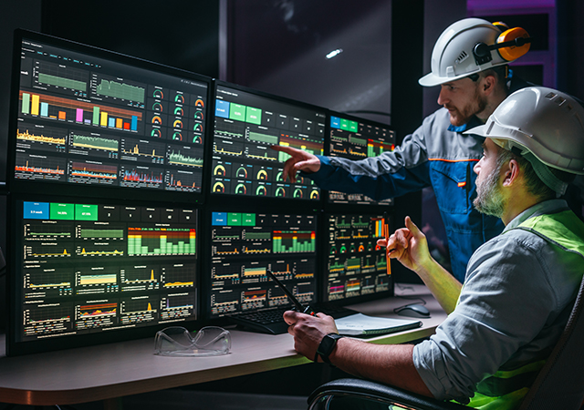
.jpg)


.jpg)


 SiteVision ... providing a perspective of infrastructure that is yet to be built.
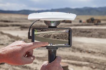
Trimble has rolled out its SiteVision system – an outdoor augmented reality (AR) solution that enables users to visualise 2D and 3D data on virtually any project site with cellular or internet connectivity for easier and more efficient planning, collaboration and reporting.
Combining hardware and software in an integrated, lightweight handheld or pole-mounted solution, users can view 3D models and assets in a real-world environment at a 1:1 scale, from any angle or position.
“It’s easier to understand complex ideas when we can see them in a real-world context,” says Mark Nichols, general manager at Trimble. “SiteVision improves our understanding of projects and worksites with a handheld device that is accessible to a wide range of users. Augmented reality is now ready for everyday use in a wide range of applications.”
Using Trimble Connect cloud-based hosting, SiteVision can access models from all stages of the lifecycle of infrastructure and buildings – from initial concepts of roads or buildings through the operations and maintenance phase of the assets – to increase collaboration, enhance work accuracy and ultimately improve operations and utilisation.
SiteVision simplifies complex concepts by allowing users to blend digital content with real-world environments. For example, city planners can visualise a new building design in the exact spot it is to be erected, a work crew can identify the exact position of underground cables or pipes before digging, an electric utility can confirm placement of poles and lines with customers and crews, or a construction supervisor can assess the progress of heavy equipment by visualising actual work performed against the site plan.
The SiteVision system consists of:
• Hardware: The Trimble SiteVision Integrated Positioning System integrates the Trimble Catalyst DA1 antenna, Electronic Distance Measurement (EDM) rangefinder and power management into a lightweight, handheld device that connects to a user-supplied Android mobile phone.
• Software: This is available to single users on a monthly or yearly subscription, which combines Trimble’s high-accuracy positioning services and cloud-based processing technology to create a centimetre-accurate AR system. The system leverages Trimble cloud-based processing to manage and deliver data and design models.
SiteVision enables users to visualise digital models from a wide range of data collection, design and constructible modelling tools in open industry-standard formats including IFC and LandXML.
For civil projects, SiteVision accurately visualises data from Trimble’s Quantm, Business Center and Novapoint; design data from Civil 3D and Bentley OpenRoads; and GIS data from Esri ArcGIS software.
SiteVision powers building information modelling (BIM) projects with open data from Trimble’s Constructible BIM solutions including SketchUp and Tekla, and BIM data from Autodesk Revit and AutoCAD software.
For utility companies, PLS-CADD power line design, Distribution Design Studio (DDS) and other industry-specific design data is also supported.
Trimble SiteVision can be ordered through Trimble’s authorised distribution channels for civil engineering and construction, geospatial and buildings.
Trimble delivers products and services that connect the physical and digital worlds. Core technologies in positioning, modelling, connectivity and data analytics enable customers to improve productivity, quality, safety and sustainability.
From purpose-built products to enterprise lifecycle solutions, Trimble software, hardware and services are transforming industries such as agriculture, construction, geospatial and transportation and logistics.