






































































US-based engineering and infrastructure firm Parsons Corporation has completed the BIM-GIS integration pilot phase under its $65 million programme and construction management contract to transform Makkah’s holy sites into a year-round sustainable destination in line with Saudi Arabia’s Vision 2030 goals.
Under the contract awarded by Kidana Development Company (KDC) – the executive branch of the Royal Commission for Makkah City and Holy Sites (RCMCHS) - Parsons has been managing the planning, design, and construction activities for the decade-long Al Mashaer sites transformation programme since 2022.
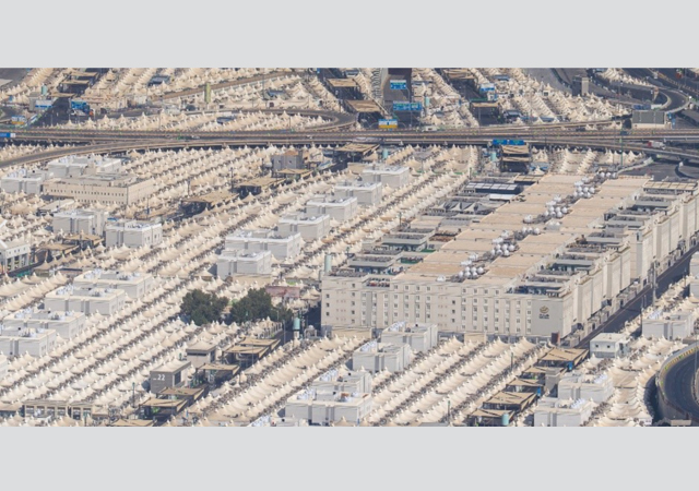
The programme encompasses an area of approximately 120 sq km across Mina, Muzdalifah, Arafat, and Hima Al Mashaer. Development is structured into short-, medium-, and long-term projects spanning the next decade, focusing on five key transformation areas, namely built environment, mobility, infrastructure, public realm, and environment.
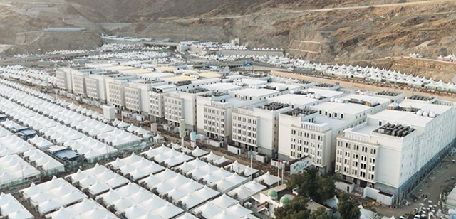
The KDC project will extend over the next decade.
Parsons is delivering integrated management services, including design oversight, construction supervision, commercial management, project controls, quality assurance, health, safety, and environment (HSE) compliance, and multi-stakeholder coordination across residential, hospitality, healthcare, commercial, and religious assets.
At the sites, Parsons is using a comprehensive BIM-GIS protocol (a framework that connects Building Information Modelling with Geographic Information Systems) to align all deliverables with global standards. The integration of BIM and GIS enables KDC to maximise the value of both domains by combining spatial intelligence with detailed asset data. This approach supports more reliable planning and informed decision-making, says Parsons, which is also conducting dedicated training workshops for the client’s team to enhance BIM capabilities and ensure effective utilisation.
During this phase, the firm structured, validated, and exchanged coordinated BIM models with GIS platforms in accordance with the approved BIM-GIS protocol. The successful completion of the BIM-GIS pilot confirms the technical readiness of BIM and GIS datasets and validates seamless, reliable data exchange.
The overall initiative aims to expand site capacity and resilience, elevate the pilgrim experience, and establish infrastructure for year-round operational continuity while preserving the cultural and natural heritage of the sites.