


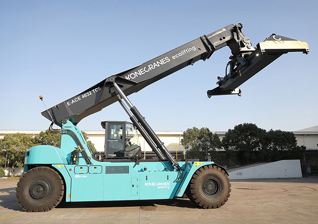


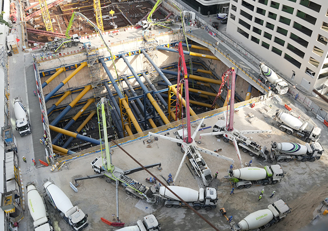


Topcon Positioning Systems has unveiled a suite of AI-driven machine control and geomatics tools, aiming to shore up thinning margins in the construction sector through increased automation. The updates centre on a “centralised platform” strategy, designed to integrate mixed equipment fleets into a single digital ecosystem.
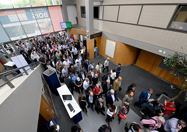
The US-headquartered innovation company focused on precision technologies and workflow solutions, introduced new 3D machine control technologies, functionalities, and safety features for earthmoving and paving applications at Conexpo-CON/AGG 2026 trade show held in Las Vegas, US, in early March.
“The industry continues to face shrinking margins, tighter specifications, and heightened sustainability expectations, and needs innovative approaches to complete projects on time, under budget, and with long-lasting results,” says Murray Lodge, Topcon Executive Vice President. “Industry professionals need high-accuracy, scalable solutions easily integrated into mixed fleets and varied workflows. A single-platform approach becomes essential, minimising downtime, reducing material waste, and maximising labour efficiencies across the entire project lifecycle.”
CR-S1 is aimed at complex environments including tunnels, forestry, and utility mapping.
Machine control platform updates
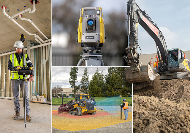
Topcon’s heavy construction equipment central platform is 3D-MC machine control software, designed for precise, real-time guidance and control for excavation, grading, paving, milling, and other earthmoving operations.
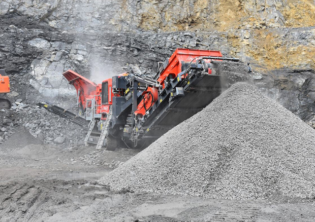
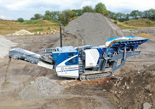
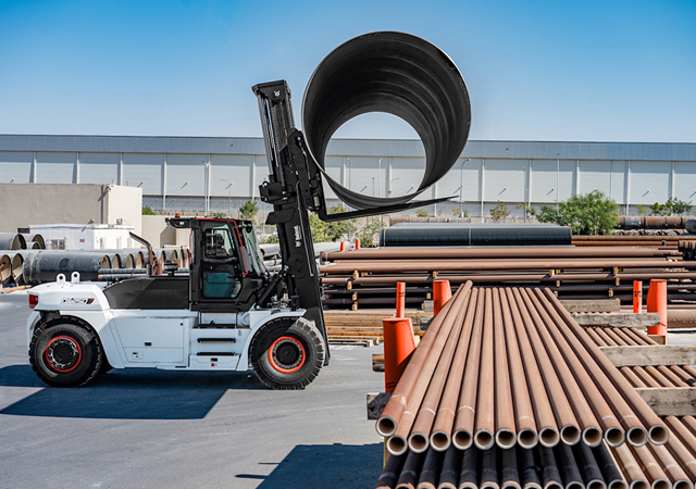
Key to the product launch is 3D-MC Edge, a high-accuracy configuration for earthmoving machinery like scrapers and dozers. Topcon is positioning the tool as an economical entry point for municipalities and smaller contractors to reach grade levels without the traditional risks of undercutting or overfilling.
For heavy excavation, the company introduced:
• Slope Control: A function that automatically adjusts excavator bucket tilt and rotation based on digital designs. The system uses the 3D design to guide the attachment to the correct orientation, reducing operator fatigue from manual control, enabling faster completion of complex work, improving accuracy for better finish quality, maximising efficiency of the tilt rotator, and increasing uptime while reducing costly mistakes.
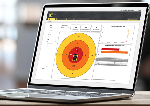
• Topcon Awareness System: An AI-based safety tool using vehicle-mounted cameras to detect obstructions in blind spots, logging data to the cloud for accident analysis.
• Hybrid Lock: A software feature that prevents work stoppages by automatically switching between satellite (GNSS) and local positioning system (LPS) tracking using robotic total stations when line-of-sight is blocked on busy sites.
CR-S1 ... a handheld scanning device.
Logistics and Geomatics
Topcon also addressed the logistical side of heavy projects with the LM-1000, a trade-approved load-weighing system for aggregate handlers. The system is designed to prevent truck overloading, a common source of regulatory fines and excessive fuel consumption.
In the geomatics sector, the company debuted Topcon Origo, a handheld spatial positioning system for interior building layouts. Unlike traditional optical equipment, Origo uses reusable spatial reference maps, allowing surveyors to navigate complex indoor environments without constant recalibration.
The new hardware and software suites integrate via Topcon Site Manager, a cloud portal compliant with ISO 15143-4 standards, allowing project managers to monitor productivity and dispatch work orders to mixed fleets in real-time.
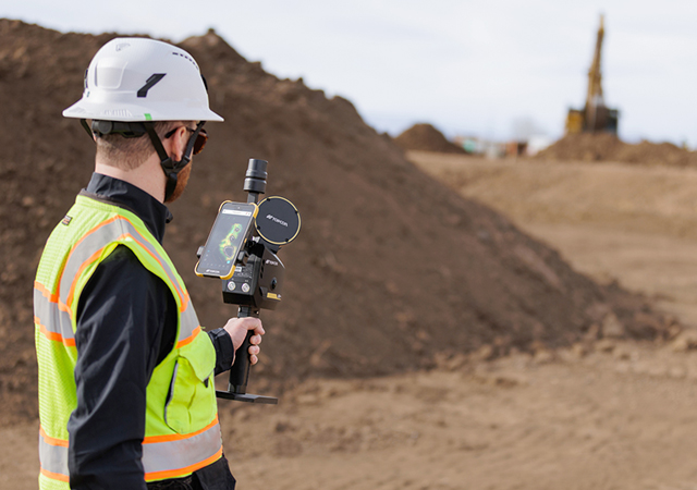
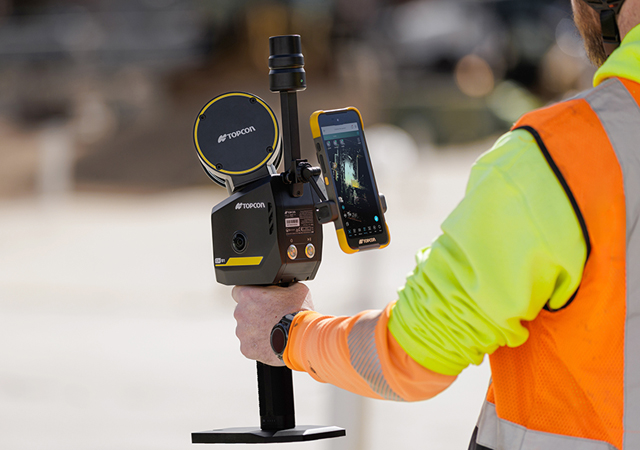
Meanwhile, as part of the company’s expanded Capture Reality porfolio, Topcon has introduced the CR-S1, a handheld scanning system that integrates LiDAR, panoramic cameras, visual SLAM cameras, and a GNSS antenna in a single device. The CR-S1 utilises Topcon’s Collage mass-data software ecosystem central to a connected workflow.
Positioned as a high-performance upgrade to the existing CR-S2, the device is aimed at complex environments including tunnels, forestry, and utility mapping.
The CR-S1 operates within the Collage mass-data ecosystem, which allows users to synchronise 3D point cloud data to the cloud for browser-based collaboration. It offers increased point cloud density, extended scanning range, and upgraded panoramic imaging. The system is primarily intended for surveying and construction and is also well-suited for applications such as land surveying, tunnel surveying and modelling, forestry analysis, mining operations, utility mapping, and power line inspection.
“Customers are looking for flexibility and efficient workflows, and our scanning portfolio and software are designed to support these needs through simplified processes, open integrations and mixed fleet compatibility,” said Ron Oberlander, Head of the Topcon Geomatics Platform. “With Collage serving as the central data hub supporting inputs from multiple sensors, users can obtain accurate, detailed information for decision making.”
Software support includes Magnet Flow for Android and iOS devices, Magnet Bridge for SLAM data desktop processing, and Collage Web.
Topcon Collage Web is a cloud-based platform for fast visualisation, exploration, and sharing of 3D point cloud data directly in a web browser. It enables users to easily view and inspect datasets while supporting efficient collaboration across projects. Through the Collage Cloud Connector desktop application, projects are seamlessly synchronised with Collage Web, allowing smooth integration with Autodesk and ClearEdge3D software. This workflow supports mixed fleets and diverse industry systems, ensuring efficient data exchange and consistent project access across desktop and cloud environments.
For added positioning accuracy, the CR S1 can be connected to the Topnet Live RTK GNSS corrections service.
Mounting options include backpack and front pack configurations for hands-free, load-bearing scanning while walking, as well as rover–pole operation. An adapter for mounting the CR-S1 on a vehicle for mobile mapping is also available.